Corona Spread in Lahore

This map is based on the data of patients admitted to the following hospital and represent the cases till 30 March 2020:
Bahria Hospital,
Childern Hospital
Ganga Ram Hospital
General Hospital
Jinnah Hospital
Mayo Hospital
National Hospital
PKLI Hospital
Services Hospital
Shahdara Teaching Hospital
Sheikh Zaid Hospital
Social Security Hospital

Map of Katchi Abadis, Lahore

Junaid Hussain has created this map of Kachi Abadis in Lahore. Image attached contains list and Location of Declared and Un-Declared Kachi Abadis in Lahore with approximate number of units.

The maps shows the declared and un-declared katachi abadis as per LDA record 2011-2012.

Vector Datasets (ESRI Shapefiles)

Currently following vector datasets are available in ESRI Shape files Format at this blog:

Administrative Boundaries Maps:

  1. National and Provincial Boundaries of Pakistan (Admin Level 0 and 1)
  2. District Boundaries of Pakistan (Admin Level 2)
  3. Tehsil Boundaries of Pakistan (Admin Level 3)
  4. Union Council Map (Admin level 4) of District Barkhan – Balochistan
  5. Union Council Map (Admin level 4) of District Jaffarabad – Balochistan

  6. Union Council Map (Admin level 4) of District Killa Saifullah – Balochistan

  7. Union Council Map (Admin level 4) of District Kohlu – Balochistan

  8. Union Council Map (Admin level 4) of District Loralai – Balochistan

  9. Union Council Map (Admin level 4) of District Nasirabad – Balochistan

  10. Union Council Map (Admin level 4) of District Sibi – Balochistan

Khyber Pakhtunkhwa

  1. Union Council Map (Admin level 4) of District Abbottabad – KPK

  2. Union Council Map (Admin level 4) of District Bannu – KPK

  3. Union Council Map (Admin level 4) of District Batagram – KPK

  4. Union Council Map (Admin level 4) of District Buner – KPK

  5. Union Council Map (Admin level 4) of District Charsadda – KPK

  6. Union Council Map (Admin level 4) of District Chitral – KPK

  7. Union Council Map (Admin level 4) of District Dera Ismail Khan – KPK

  8. Union Council Map (Admin level 4) of District Hangu – KPK

  9. Union Council Map (Admin level 4) of District Haripur – KPK

  10. Union Council Map (Admin level 4) of District Karak – KPK

  11. Union Council Map (Admin level 4) of District Kohat – KPK

  12. Union Council Map (Admin level 4) of District Kohistan – KPK

  13. Union Council Map (Admin level 4) of District Lakki Marwat – KPK

  14. Union Council Map (Admin level 4) of District Lower Dir – KPK

  15. Union Council Map (Admin level 4) of District Malakand P.a. – KPK

  16. Union Council Map (Admin level 4) of District Mansehra – KPK

  17. Union Council Map (Admin level 4) of District Mardan – KPK

  18. Union Council Map (Admin level 4) of District Nowshera – KPK

  19. Union Council Map (Admin level 4) of District Peshawar – KPK

  20. Union Council Map (Admin level 4) of District Shangla – KPK

  21. Union Council Map (Admin level 4) of District Swabi – KPK

  22. Union Council Map (Admin level 4) of District Swat – KPK

  23. Union Council Map (Admin level 4) of District Tank – KPK

  24. Union Council Map (Admin level 4) of District Upper Dir – KPK

Punjab

  1. Union Council Map (Admin level 4) of District Bahawalpur – Punjab

  2. Union Council Map (Admin level 4) of District Bhakkar – Punjab

  3. Union Council Map (Admin level 4) of District Dera Ghazi Khan – Punjab

  4. Union Council Map (Admin level 4) of District Jhang – Punjab

  5. Union Council Map (Admin level 4) of District Khushab – Punjab

  6. Union Council Map (Admin level 4) of District Layyah – Punjab

  7. Union Council Map (Admin level 4) of District Mianwali – Punjab

  8. Union Council Map (Admin level 4) of District Multan – Punjab

  9. Union Council Map (Admin level 4) of District Muzaffargarh – Punjab

  10. Union Council Map (Admin level 4) of District Rahim Yar Khan – Punjab

  11. Union Council Map (Admin level 4) of District Rajanpur – Punjab

Sindh

  1. Union Council Map (Admin level 4) of District Dadu – Sindh

  2. Union Council Map (Admin level 4) of District Ghotki – Sindh

  3. Union Council Map (Admin level 4) of District Hyderabad – Sindh

  4. Union Council Map (Admin level 4) of District Jacobabad – Sindh

  5. Union Council Map (Admin level 4) of District Jamshoro – Sindh

  6. Union Council Map (Admin level 4) of District Kashmore – Sindh

  7. Union Council Map (Admin level 4) of District Khairpur – Sindh

  8. Union Council Map (Admin level 4) of District Larkana – Sindh

  9. Union Council Map (Admin level 4) of District Matiari – Sindh

  10. Union Council Map (Admin level 4) of District Naushahro Feroze – Sindh

  11. Union Council Map (Admin level 4) of District Qambar Shahdadkot – Sindh

  12. Union Council Map (Admin level 4) of District Shaheed Benazirabad – Sindh

  13. Union Council Map (Admin level 4) of District Shikarpur – Sindh

  14. Union Council Map (Admin level 4) of District Sukkur – Sindh

  15. Union Council Map (Admin level 4) of District Tando Muhammad Khan – Sindh

  16. Union Council Map (Admin level 4) of District Thatta – Sindh

Urban Union Councils:

Urban Area Maps:

  1. Haripur GIS Map (ESRI Format)
  2. Peshawar GIS Map (ESRI Format)
  3. Mianwali Tehsil GIS Map (ESRI Format)
  4. Quetta GIS Map (ESRI Format)
  5. Gilgit GIS Map (ESRI Format)
  6. Nankana Sahib GIS Map (ESRI Format)
  7. Jaranwala GIS Map (ESRI Format)
  8. Pindi Bhattian GIS Map  (ESRI Format)
  9. Khangah Dogran GIS Map (ESRI Format)
  10. Chiniot GIS Map (ESRI Format)
  11. Chakwal GIS Map (ESRI Format)
  12. Attock GIS based Land use Map (ESRI Format)
  13. Faisalabad GIS based Land use Map (ESRI Format)
  14. Village Kesar Garh (District Kasur) GIS Based Landuse Map (ESRI Format)

Town wise Union Council Boundaries of Lahore

This GIS map consists of polygonal boundaries for 151 union councils of Lahore urban area divided in 11 Towns.

Union council boundaries of lahore

Special thank to our very Valued Contributor for Lahore.

                                   .::Click HERE to request for this data set::.

GIS Map of Lahore (ESRI format)

PKMAPS is a small community of mapping enthusiasts (all over the world) choosing to map Pakistan and share data for free on the internet. They develop maps for GPS or navigators for providing aid in navigation across the Pakistan.

Here, we are using their gps maps to prepare ESRI format shape files, that can be used in GIS software like ArcGIS and Arcview for various analysis and applications for urban planning. Hence expanding the area of application for those maps.

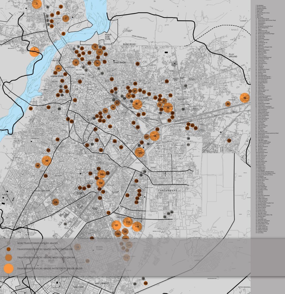
We are presenting a map of Lahore city containing line, point and polygonal features. Coverage and Road hierarchy is visible even from the picture below.image


Points Shape File:

About 1082 places of interest are identified and categories as Hospitals, banks, graveyards, libraries, parks, schools, restaurants, shopping centers, stadiums, amusement centers, landmarks and swimming areas etc.

Lines Shape File:

This layer includes 8418 line features which represent arterial roads, collector roads, residential streets, major highways, alleys, railway routes, airport runways, and water streams. 643 features are identified with their names as well.

Polygones Shape File:

This map layer carries 754 polygones showing city parks, lakes, orchards or plantations, housing schemes or institution boundaries and other polygonal features.Location names are updated for 690 features.

Screen shot below shows a zoom in view where all points, lines and polygonal features can be seen with the level of detail. image


                            .::Special thanks to PKMAPS, smkhan and Faisal::.