Today on November 20, 2024, we join global community in celebrating the 25thAnniversary of GIS Day under the theme “Mapping Minds, Shaping the World”. This theme highlights how human creativity and technological advancements come together to transform our world.
We at City Pulse (Pvt.) Ltd. are excited to be part of this global movement. Inspired by the visionary Ralph Nader, who motivated the creation of GIS Day in 1999, we are committed to integrating and building GIS based solutions in key thematic areas of habitat planning, agro-informatics, socio-economic studies, environment, disaster management, water solutions etc. Our goal is to better understand, navigate, and shape communities at rural, urban and regional scale.
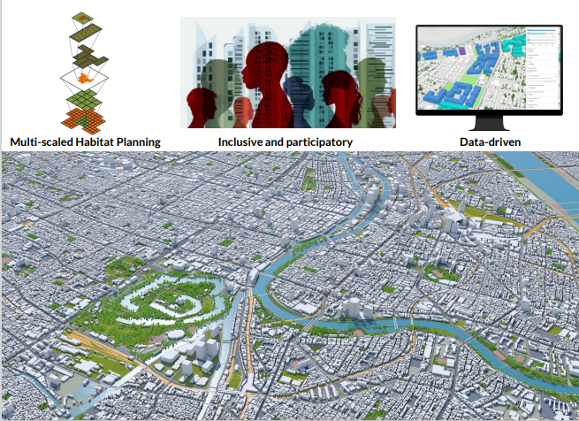
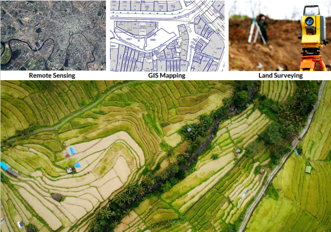
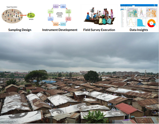
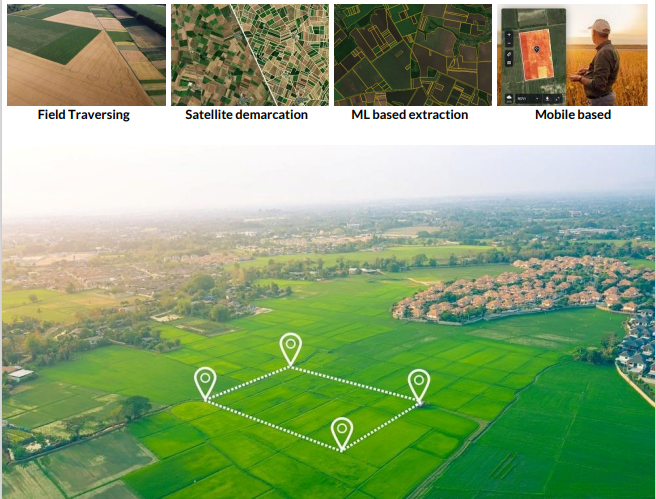
Through GIS, we tend to change the traditions, uncover trends, empower informed & smart decision-making and contribute to sustainable development of individuals and communities; our people and the planet, now and into the future.
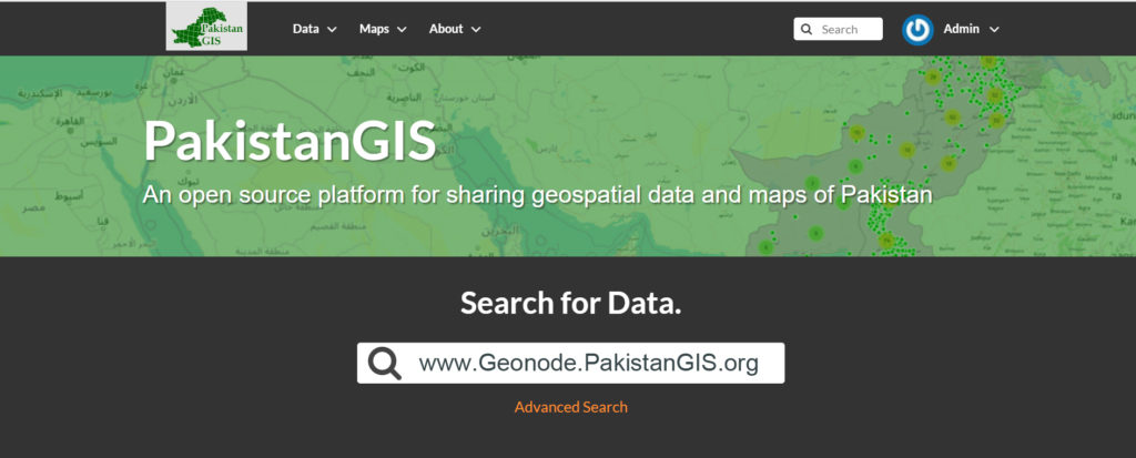
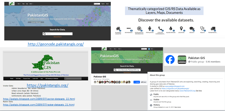
In line with our efforts, we are also driving the #PakistanGIS initiative—a voluntary movement aimed at building a strong, connected network of GIS professionals, map enthusiasts, students, and researchers. Together, we can innovate, share knowledge, and contribute to society’s growth through the power of geospatial technology.
Join us on this journey! Let’s connect, innovate, and shape the future world together with GIS.