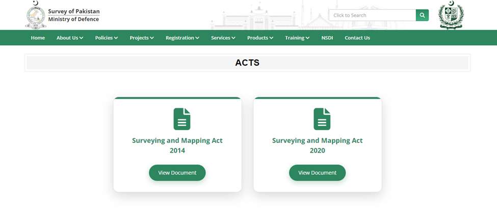
Surveying and Mapping Act, 2014 of Majlis-e-Shoora (Parliament) received the assent of the President on 12th May, 2024. It’s an act to provide for constitution and regulation of Survey of Pakistan, which is the National Surveying and Mapping Organization of the Islamic Republic of Pakistan.
The main parts of the Surveying and Mapping Act, 2014 include:
- Part I: Preliminary
- Part II: Constitution of Survey of Pakistan
- Part III: Management of Geospatial Data
- Part IV: Supply and Security of Geospatial Data
- Part V: Use of Survey Markers
- Part VI: National and International Initiatives
- Part VII: Offences and Penalties
- Part VIII: Miscellaneous
The said act has been amended in 2020, and it’s recognized as Surveying and
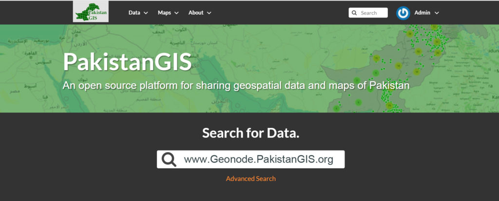
Mapping (Amendment) Act, 2020. Both the acts can be downloaded from PakistanGIS Geonode:
Surveying and Mapping Act, 2014
http://geonode.pakistangis.org/documents/77/link
Surveying and Mapping (Amendment) Act, 2020
http://geonode.pakistangis.org/documents/78/link
Source: https://www.surveyofpakistan.gov.pk/Detail/MjU2OTFlNjctYmM4My00YjBkLWEyY2MtYmJkMmVkN2MzZGQx