Tag Archives: Pakistan
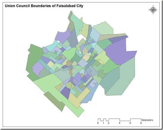
Union Council Boundaries of Faisalabad City
This GIS map consists of polygonal boundaries for 118 union councils of Faisalabad urban area. It has been developed and generously shared by Nasar min Allah Bhalli (M.Phil) from Department of geography, GC University Faisalabad.
.::Click HERE to request for this data set::.
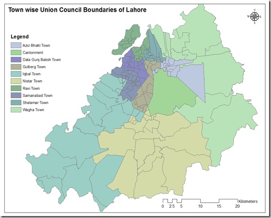
Town wise Union Council Boundaries of Lahore
This GIS map consists of polygonal boundaries for 151 union councils of Lahore urban area divided in 11 Towns.
Special thank to our very Valued Contributor for Lahore.
.::Click HERE to request for this data set::.
GIS Companies’ Directory
National Geospatial Services Pakistan
Company Name |
National Geospatial Services Pakistan |
Address | Islamabad |
Head Office in City | Islamabad |
Branch Offices in | Lahore, Faisalabad, Karachi and Peshawar |
Website | http://gisconsultant.com.pk/ |
Description | Not available |
Contact Email | ahsan@gisconsultant.com.pk |
Phone | +923336704571 |
Area of Specialization |
|
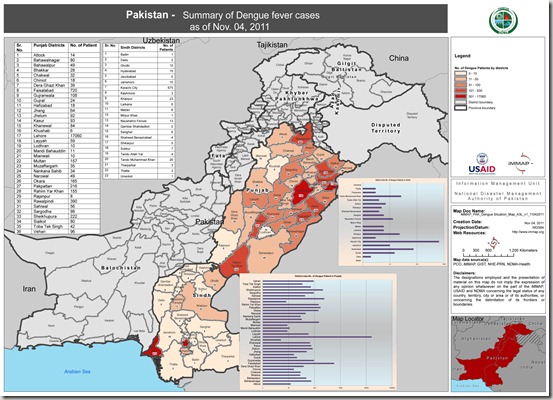
Situation Map of Dengue Fever Cases (04 Nov 2011)
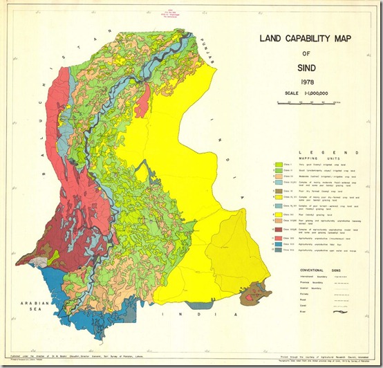
Land Capability Map of Sind
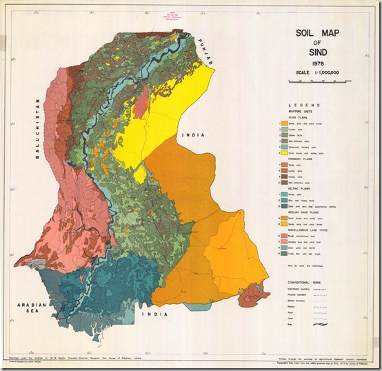
Soil Map of Sindh
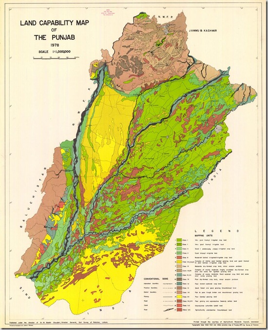
Land Capability Map of Punjab
Karachi Town Administration Boundaries
This GIS map contains polygonal boundaries for 31 administration town of Karachi. It has been developed by Dr. Jamil H. Kazmi at he Department of geography, University of Karachi and generously shared by Bilal Aslam (Research Fellow).