
-
Punjab
It is lovely to see the Census of Schools conducted by Schools Education Department, Government of Punjab. The online database contains very comprehensive information for more than 55 thousand educational facilities in all districts of Punjab along with locational information.

Below image shows, how it looks like when plotted in GIS all together at once. Only a few schools (less than 3%) have got missing GIS coordinates or wrongly placed coordinates, but overall it’s a very comprehensive and rich piece of information for those interested in education sector in Punjab.

2. Sindh
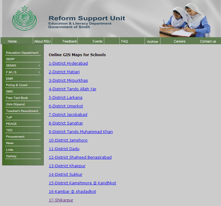
Reform Support Unit, Education and Literacy Department, Government of Sindh has also done a great job by providing online access to School Census Database and Online GIS coordinates of schools from 17 districts. So far, these districts include Hyderabad, Matiari, Mirpurkhas, Tando Allah Yar, Larkana, Umerkot, Jacobabad, Sanghar, Tando Muhammad Khan, Jamshoro, Dadu, and Shaheed Benazirabad, Khairpur, Sakkur, Kashmore, Shahdadkot and Shikarpur.
Currently the online database contain coordinates of more than 28 Thousand as of July 2014 educational facilities spreaded over 17 districts. This is how it looks like all together.

Overall picture look like the image below:

