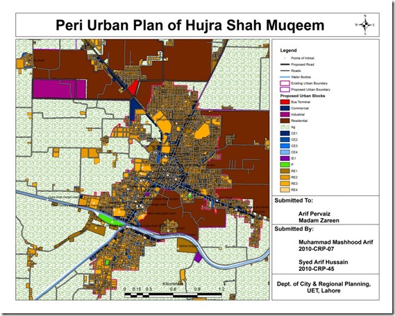
An interesting effort by Muhammad Mashhood and Arif Hussain, students at Engineering University, Department of City and Regional Planning.
Its GIS based map of Hujra Shah Muqeem containing base map, existing land uses, road network, points of interest, existing and proposed urban area boundaries, water bodies and proposed land uses for future growth.

