Following raster datasets are available for at this plate form:
- Digital Elevation Model Data of whole Pakistan (SRTM 90m)

- Digital Elevation Model Data of whole Pakistan (GASTER DEM 30m)
- Satellite Image of Pakistan Flood 13 September 2010
- Satellite Image of Pakistan Flood 07 September 2010
- Satellite Image of Pakistan Flood 02 September 2010
- Satellite Image of Pakistan Flood 29 August 2010
- Satellite Image of Pakistan Flood 22 August 2010
- Satellite Image of Pakistan Flood 17 August 2010
- Satellite Image of Pakistan Flood 15 August 2010
- Satellite Image of Pakistan Flood 12 August 2010
- Satellite Image of Pakistan Flood 11 August 2010
- Satellite Image of Pakistan Flood 10 August 2010
- Satellite Image of Pakistan Flood 08 August 2010
- Satellite Image of Pakistan Flood 30 July 2010
- Satellite Image of Pakistan Flood 28 August 2009
- Satellite Image of Pakistan Flood 14 August 2009
- Satellite Image of Pakistan Flood 11 August 2009
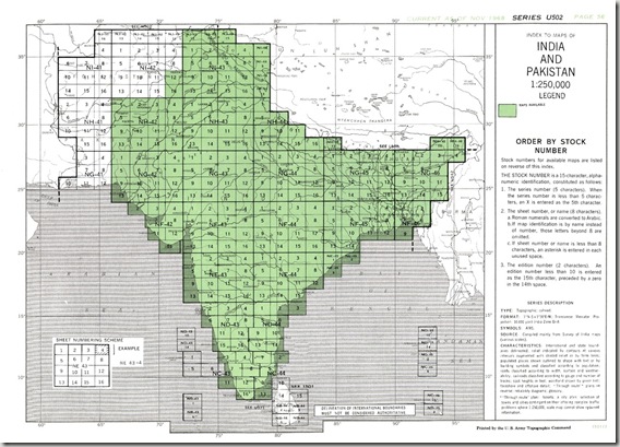
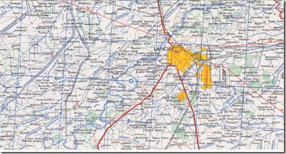
- Geo-referenced Topographic maps of Pakistan
- Geo-referenced Satellite Image of Sialkot
- Satellite Map of Abbottabad City
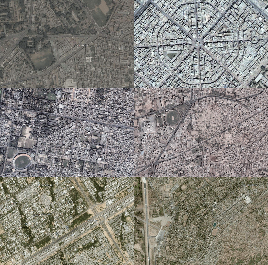
- Satellite Image of Lahore City
- Satellite Image of Muredkey
- Satellite Image of Jhelum
- Satellite Image of Vehari
- Satellite Image of Liaqatput (Rahim yar Khan)
- Satellite Image of Faisalabad


 proudly presents the Geo-referenced Topographic Maps of whole Pakistan free of cost. These topo-sheets have been originally taken from the

