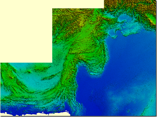
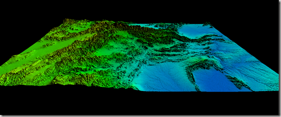
The SRTM digital elevation data, produced by NASA originally, is a major breakthrough in digital mapping of the world, and provides a major advance in the accessibility of high quality elevation data for large portions of the tropics and other areas of the developing world. Source: (CGIARCSI)
This 90m resolution elevation dataset is available for Pakistan and can be used for regional studies or enhancing visual appearance of map products. Here are some glimpses.
.::Click HERE to request for this data set::.


