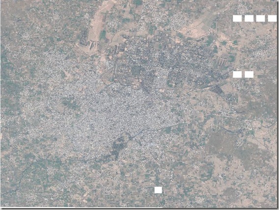
Please find here the Geo-referenced Aerial Photograph of Sialkot.
http://rapidshare.com/files/231074969/Sialkot.part1.rar
http://rapidshare.com/files/231086179/Sialkot.part2.rar
You need to download both files Sialkot.part1.rar and Sialkot.part2.rar and then unzip to gather. It will give you JPEG gile of sialkot city area along with .gmw file. The GMW is global mapper workspace file just like ozi explorer. You can use Global Mapper for its conversion to any format as per your need.
Following are the Image Details:
|
Image Date |
9 October 2005 |
|
COVERED AREA |
196.4 sq km |
|
Download Eye Altitude |
533 meters at Google Earth |
|
DESCRIPTION |
Sialkot Final.jpg |
|
UPPER LEFT X |
74.4745205570 |
|
UPPER LEFT Y |
32.5547334337 |
|
LOWER RIGHT X |
74.6323095316 |
|
LOWER RIGHT Y |
32.4354937786 |
|
WEST LONGITUDE |
74° 28′ 28.2740″ E |
|
NORTH LATITUDE |
32° 33′ 17.0404″ N |
|
EAST LONGITUDE |
74° 37′ 56.3143″ E |
|
SOUTH LATITUDE |
32° 26′ 7.7776″ N |
|
PROJ_DESC |
Geographic (Latitude/Longitude) / WGS84 / arc degrees |
|
PROJ_DATUM |
WGS84 |
|
PROJ_UNITS |
arc degrees |
|
EPSG_CODE |
4326 |
|
NUM COLUMNS |
24595 |
|
NUM ROWS |
22105 |
|
PIXEL WIDTH |
0.0000064 arc degrees |
|
PIXEL HEIGHT |
0.0000054 arc degrees |

