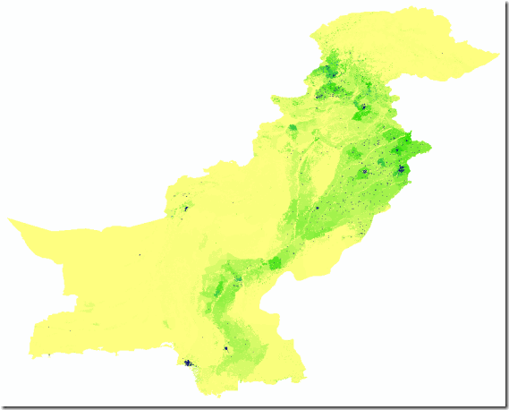
High resolution, contemporary data on human population distributions are a prerequisite for the accurate measurement of the impacts of population growth, for monitoring changes and for planning interventions. The AsiaPop project was initiated in July 2011 with an aim of producing detailed and freely-available population distribution maps for the whole of Asia. This appears to be the highest resolution data on the subject available in open source as of today.

Details
Units: Persons per grid square
Projection: Geographic (WGS84)
Spatial Resolution: 0.000833 degrees (~100m at the equator)
Years: 2010, 2015
Versions: (i) Adjusted to match UN national estimates and (ii) Unadjusted
Format: Geotiff (zipped using 7-zip (open access tool)


